
Environmental Surveys
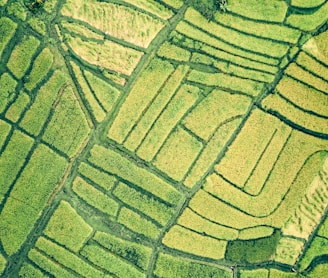
Aerial inspections of large environmental areas using drones provide an efficient, accurate, and cost-effective solution for monitoring vast landscapes. Erosion of coastline can be very well monitored using periodic aerial surveys and building time history of the area. Equipped with high-resolution cameras, LiDAR, and multispectral sensors, drones can capture detailed data on forests, wetlands, coastlines, and other ecosystems. This technology enables rapid assessments of environmental changes, habitat health, and land degradation while minimizing human impact. By offering real-time insights and high-quality datasets, drone-based inspections support conservation efforts, disaster response, and sustainable land management on a large scale.