Elevate Your Insights with Drone Technology
Your Aerial Partner in your Speciality Business
Innovative Aerial Solutions for Businesses
At Orbit Aerial, we leverage advanced drone technology to deliver precise aerial inspections and surveys, ensuring businesses can monitor and optimize their operations with unparalleled accuracy and efficiency.
Your Vision from Above
Transforming Aerial Insights Today
Our mission is to provide businesses with a bird's-eye view, enhancing infrastructure monitoring and asset management through cutting-edge technology, delivering results with speed and unmatched precision.
Aerial Inspection Services
Utilizing drones for precise inspections and surveys to enhance operational efficiency and safety.
Infrastructure Monitoring Solutions
Advanced drone technology for comprehensive infrastructure assessments and management strategies.
Environmental Survey Services
Accurate aerial surveys for environmental assessments and compliance monitoring using cutting-edge drones.
Asset Management Insights
Optimizing asset performance through detailed aerial insights and data-driven strategies.
Aerial Insights
Explore our innovative aerial inspection and survey projects today.
Infrastructure Monitoring
Our advanced drone technology ensures precise monitoring of infrastructure, enhancing safety and efficiency for businesses across various sectors while providing critical data for informed decision-making.


Environmental Surveys
Discover how our aerial surveys facilitate environmental assessments, helping organizations optimize their operations and comply with regulations while promoting sustainability and responsible asset management.
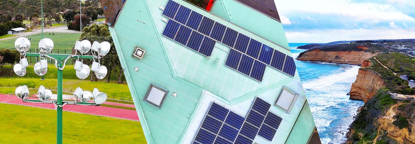
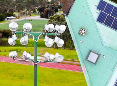
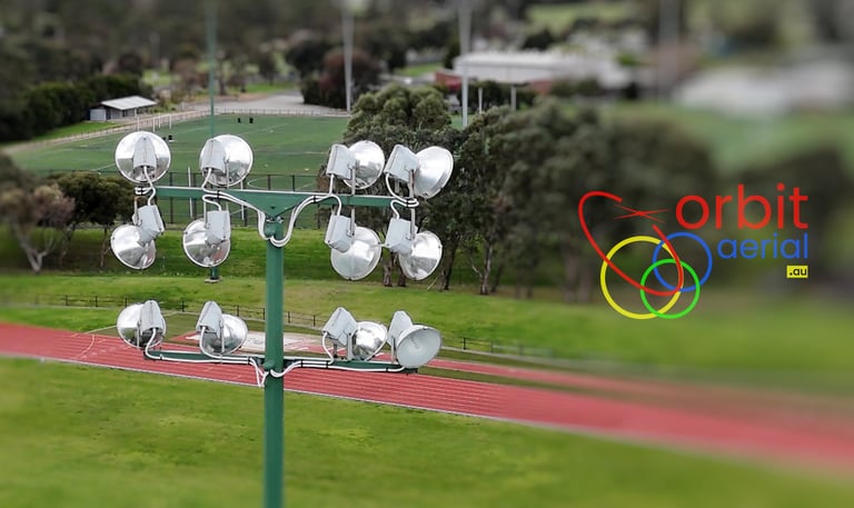
Whether it is a multistory house or a warehouse or a factory, get an updated view of your property and installed equipment. Orbit Aerial inspection assistance to roof contractor, handyman, or insurance inspectors all sort of measurements, condition report and 3D Models. This high-fidelity data becomes your digital asset for any future maintenance and modification works.
Roof Inspections
Predict the Future by Creating it
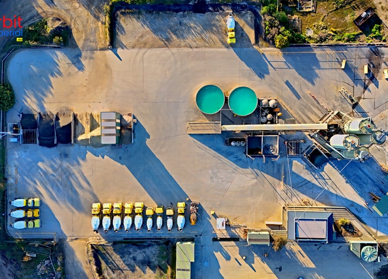
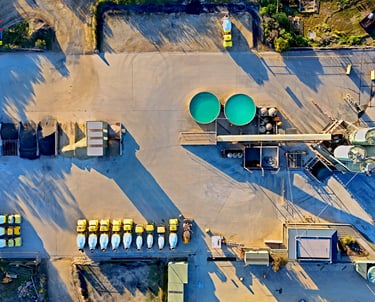
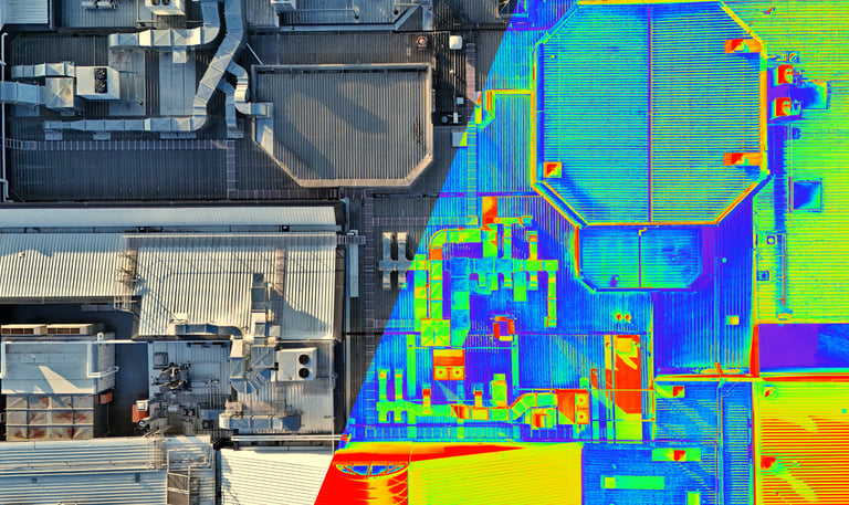
DIGITAL TWIN
Orbit Aerial provides high-fidelity data that becomes digital record for keeping track of modifications in the infrastructure or the asset. The concept of Digital Twin or Virtual Twin is becoming increasingly important for asset management. Aerial imagery or detailed 3D models becomes digital twin of the actual asset which can be used to predict the condition of asset under upcoming or external conditions. Contact Orbit Aerial to discuss your requirements to develop digital twin of your factory or excavation or construction.